Kaarten en gidsen > Wandelen > Wandeltochten > Europa > Britse Eilanden > Groot-Brittannië > Engeland > Birmingham, Cotswolds, Oxford
 Wandeltocht Birmingham, Cotswolds, Oxford
Toont alle 8 resultaten
-
 Cotswold Way | wandelkaart 1:40.000Gedetailleerde kaart met de wandelroute. Symbolen geven de campings, B&B's, hotels, e.d. aan. In pladirect leverbaar!€25,95 > alles van Europa
 -
 Cotswold Way, the | wandelgidsThe Cotswold Way is a 102-mile National Trail that runs from Chipping Campden to Bath, following theniet direct leverbaar€17,50 > alles van Europa
 -
 Cotswold Way, Walking the | wandelgidsGuidebook to walking the Cotswold Way National Trail. Between Chipping Campden and Bath, the 102 mildirect leverbaar!€23,95 > alles van Europa
 -
 Severn Way, the | wandelgidsWandelgids op handig formaat met een beschrijving van de fraaie Severn Way. Bevat tevens alle praktidirect leverbaar!€17,50 > alles van Europa
 -
 Shropshire Way, Walking the | wandelgids'Walking the Shropshire Way' is een deel uit een serie wandelgidsen in handig vestzakformaat. Bevatdirect leverbaar!€19,95 > alles van Europa
 -
 Thames Path National Trail Map | wandelkaart 1:60.000The Thames Path follows the banks of the river for 184 miles (294KM) from the flood barrier at Woolwdirect leverbaar!€25,95 > alles van Europa
 -
 Thames Path, Walking the | wandelgidsA guidebook to walking the Thames Path, a National Trail covering 182 miles between the Woolwich Foodirect leverbaar!€23,95 > alles van Europa
 -
 Wye Valley Walk, walking the | wandelgidsThe official guide to backpacking or walking the Wye Valley Walk, 136 miles through the Welsh borderdirect leverbaar!€22,50 > alles van Europa
Blogs over Birmingham, Cotswolds, Oxford
-
 Voortaan iedere eerste zondag open!We zitten weer in periode van het jaar om mooie vakantieplannen te maken. Mocht je door de week niet of…
 -
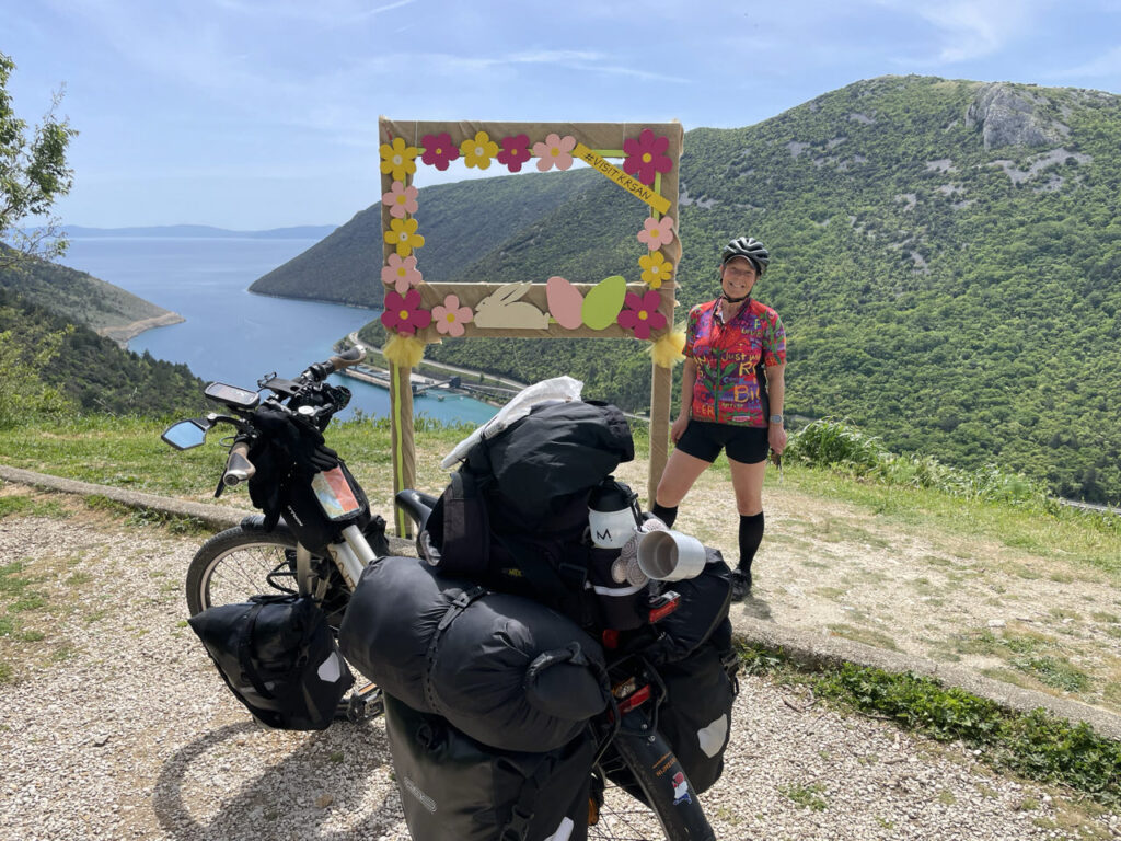 Op de fiets naar Griekenland!Op 8 november 2024 presenteerde Miranda Boom ons haar fantastische fietsavontuur Als je graag naar Zuid-Europa wilt reizen, maar niet…
 -
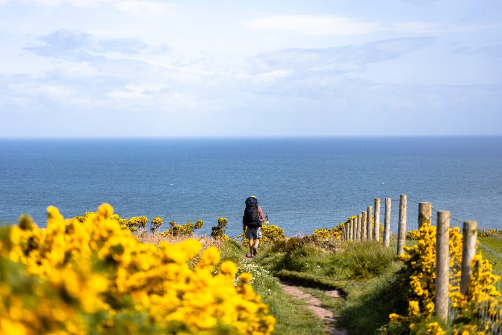 Drie mooie langeafstandswandelingen in EuropaWandelen in Europa is geweldig en extra speciaal als je er ook nog eens makkelijk kunt kamperen! Als je Europa…
 -
 Lekker lezen in de herfstVijf keer onze hoogstpersoonlijke eigen herfstboeken TOP 3's Herfst. Het rustige jaargetijde waarin je, als het weer even niet zo…
Blogs over Wandeltochten
-
Drie mooie langeafstandswandelingen in EuropaWandelen in Europa is geweldig en extra speciaal als je er ook nog eens makkelijk kunt kamperen! Als je Europa…
-
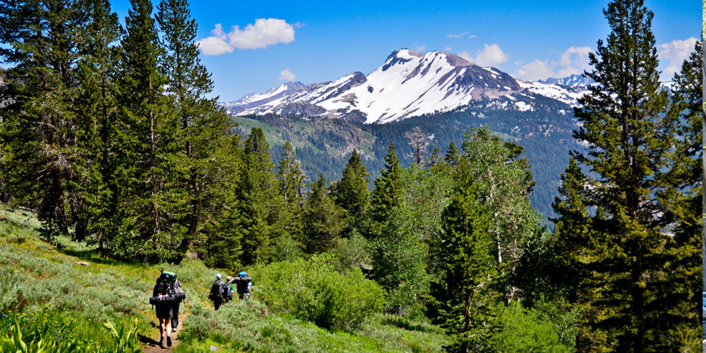 De Pacific Crest Trail , een 4600 km lange natuurodysseeVrijdag 10 mei 2024: Marlies Hallingse en Berry Trip, beiden uit Arnhem, vertellen over hun prachtige wandelavontuur, dwars door Amerika…
 -
 Stubai, het veelzijdigste bergdal van Oostenrijk?Klettersteige in Tirol Op het dorpsplein van Neustift, het toeristisch hart van het Stubaital, valt me direct het herdenkingsreliëf van…
 -
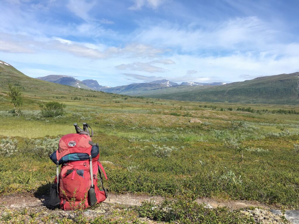 NOORWEGEN, VAN TEEN TOT KRUINMyra de Rooy knipte haar tocht van het zuidelijkste puntje van Noorwegen, de vuurtoren van Lindesnes, naar de Noordkaap in…