Kaarten en gidsen > Wandelen > Wandeltochten > Meerdaagse wandelroutes > Europa > Britse Eilanden > Groot-Brittannië > Engeland > Birmingham, Cotswolds, Oxford > Thames Path National Trail Map | wandelkaart 1:60.000
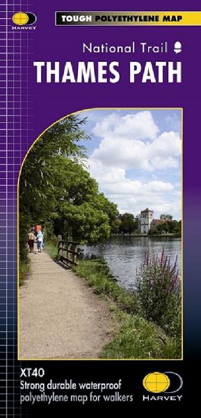
Thames Path National Trail Map | wandelkaart 1:60.000
scheur- en watervaste wandelkaart
€24,50
direct leverbaar!
- Zeer ruim assortiment
- Verzending 1-2 werkdagen
- Niet tevreden, geld terug
- Ruilen binnen 14 dagen
Titelinformatie
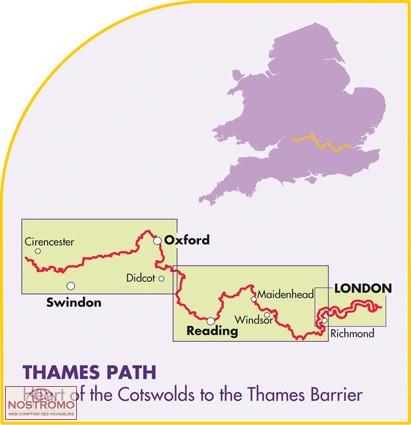
The Thames Path follows the banks of the river for 184 miles (294KM) from the flood barrier at Woolwich in South East London to Kemble Gloucestershire.It is a long distance walking route, most of it cannot be cycled. The Trail passes through water meadows, historic towns & lovely villages. The path is flat which makes for easy walking. Jos Joslin National Trails Manager (Marketing & Projects) said of this map "Really beneficial to have the whole length of the Thames Path upstream of London on just one map. Clear mapping and useful information makes this a very practical map"
Titelspecificaties
| Regio | Birmingham, Cotswolds, Oxford |
|---|---|
| Uitgavedatum | 2022 |
| Uitgever | |
| ISBN | 9781851375127 |
| Categorie | Meerdaagse wandelroutes, Wandelkaarten |

