Kaarten en gidsen > Wandelen > Wandeltochten > Meerdaagse wandelroutes > Europa > Britse Eilanden > Groot-Brittannië > Engeland
 Meerdaagse wandelroute Engeland
[mapsvg id="521431"]
Resultaat 25–48 van de 57 resultaten wordt getoond
-
 North Downs WayGedetailleerde routebeschrijving. De kaartjes zijn uitstekend (1:25.000 in kleur). Met goede achtergdirect leverbaar!€19,90 > alles van Europa
 -
 North Downs Way National Trail | wandelgidsPraktisch wandelgidsje in compact formaat. Bevat de routebeschrijving, gedetailleerde kaarten, overndirect leverbaar!€23,95 > alles van Europa
 -
 North Downs Way | wandelkaart 1:40.000Gedetailleerde wandelkaart van deze beroemde route. Gedrukt op scheur- en watervast materiaal. Includirect leverbaar!€25,95 > alles van Europa
 -
 Northumberland Coast Path | wandelkaart 1:40.000Gedetailleerde kaart met de wandelroute(s). Symbolen geven de campings, B&B's, hotels, e.d. aan. Inniet direct leverbaar€25,90 > alles van Europa
 -
 Peddars Way & Norfolk Coast Path | wandelkaart 1:40.000The Peddars Way and Norfolk Coast Path is considered by many to be one of the most accessible Nationdirect leverbaar!€25,95 > alles van Europa
 -
 Peddars Way and Norfolk Coast Path, walking the | wandelgidsThe 130 mile Peddars Way and Norfolk Coast Path National Trail combines the best of inland and coastniet direct leverbaar€17,50 > alles van Europa
 -
 Pennine Way North | wandelkaart 1:40.000The whole of the Pennine Way on just 2 maps! Pennine Way North map covers the route from Middleton-idirect leverbaar!€27,95 > alles van Europa
 -
 Pennine Way South | wandelkaart 1:40.000The whole of the Pennine Way on just 2 maps! The Pennine Way is a National Trail. It follows the bacdirect leverbaar!€27,95 > alles van Europa
 -
 Pennine Way, the | wandelgidsEngelstalige gids in handig vestzakformaat. Bevat gedetailleerde routebeschrijvingen, veel praktischdirect leverbaar!€23,95 > alles van Europa
 -
 Ribble Way, walking the | wandelgidsThis is a new, full colour guide to this delightful long distance trail. The River Ribble springs frdirect leverbaar!€22,90 > alles van Europa
 -
 Ridgeway, the | wandelgidsGuidebook to the Ridgeway National Trail, an 87 mile (139km) route through the south of England fromdirect leverbaar!€23,50 > alles van Europa
 -
 Sarsen Way, Walking the | wandelgidsGuidebook to the Sarsen Way (79km) from Coate Water Park to Salisbury and the Cranborne Droves Way (direct leverbaar!€19,50 > alles van Europa
 -
 Severn Way, the | wandelgidsWandelgids op handig formaat met een beschrijving van de fraaie Severn Way. Bevat tevens alle praktidirect leverbaar!€17,50 > alles van Europa
 -
 Shropshire Way, Walking the | wandelgids'Walking the Shropshire Way' is een deel uit een serie wandelgidsen in handig vestzakformaat. Bevatdirect leverbaar!€19,95 > alles van Europa
 -
 South Downs Way | wandelkaart 1:40.000Gedetailleerde kaart met de wandelroute. Symbolen geven de campings, B&B's, hotels, e.d. aan. In pladirect leverbaar!€24,95 > alles van Europa
 -
 South Downs Way, walking the | wandelgidsDeel uit een serie (wandel-)gidsen in handig vestzakformaat. Bevat gedetailleerde routebeschrijvingedirect leverbaar!€23,50 > alles van Europa
 -
 | wandelkaart 1:40.000 9781851375547 Harvey Maps Meerdaagse wandelroutes, Wandelkaarten West Country") South West Coast Path (1) | wandelkaart 1:40.000Gedetailleerde, fijngetekende kaart met de wandelroute. Scheur- en watervast. Symbolen geven de campdirect leverbaar!€25,95 > alles van Europa
South West Coast Path (1) | wandelkaart 1:40.000Gedetailleerde, fijngetekende kaart met de wandelroute. Scheur- en watervast. Symbolen geven de campdirect leverbaar!€25,95 > alles van Europa -
 | wandelkaart 1:40.000 9781851376827 Harvey Maps Meerdaagse wandelroutes, Wandelkaarten West Country") South West Coast Path (2) | wandelkaart 1:40.000Gedetailleerde kaart met de wandelroute. Symbolen geven de campings, B&B's, hotels, e.d. aan. In planiet direct leverbaar€25,95 > alles van Europa
South West Coast Path (2) | wandelkaart 1:40.000Gedetailleerde kaart met de wandelroute. Symbolen geven de campings, B&B's, hotels, e.d. aan. In planiet direct leverbaar€25,95 > alles van Europa -
 | wandelkaart 1:40.000 9781851376834 Harvey Maps Meerdaagse wandelroutes, Wandelkaarten West Country") South West Coast Path (3) | wandelkaart 1:40.000Gedetailleerde kaart met de wandelroute. Symbolen geven de campings, B&B's, hotels, e.d. aan. In pladirect leverbaar!€25,95 > alles van Europa
South West Coast Path (3) | wandelkaart 1:40.000Gedetailleerde kaart met de wandelroute. Symbolen geven de campings, B&B's, hotels, e.d. aan. In pladirect leverbaar!€25,95 > alles van Europa -
 South West Coast Path, walking the | wandelgidsHandzame wandelgids voor het gehele South West Coast Path National Trail. De route strekt zich uit odirect leverbaar!€25,95 > alles van Europa
 -
 St Cuthbert's Way, walking the | wandelgidsThis guidebook describes the long-distance trail of St Cuthbert's Way through Northumberland and thedirect leverbaar!€22,95 > alles van Europa
 -
 St Oswald's Way and Northumberland coast path| wandelgidsGuide to St Oswald's Way, stretching 97 miles (156km) through Northumberland from Heavenfield near Hdirect leverbaar!€22,50 > alles van Europa
 -
 St Oswald's Way and St Cuthbert's Way | wandelgids *In easy stages, this guidebook describes three diverse long-distance trails leading through Northumbniet direct leverbaar€12,90 > alles van Europa
 -
 St Oswald's Way | wandelkaart 1:40.000Gedetailleerde kaart met de wandelroute(s). Symbolen geven de campings, B&B's, hotels, e.d. aan. Inniet direct leverbaar€25,95 > alles van Europa
Blogs over Engeland
-
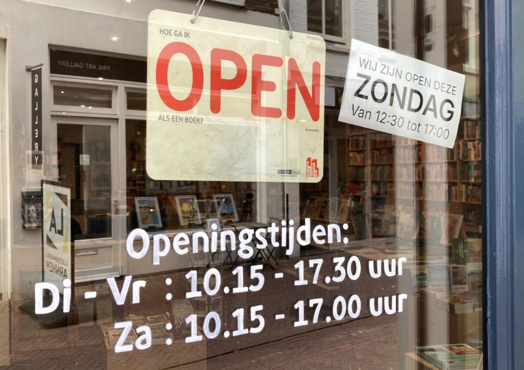 Voortaan iedere eerste zondag open!We zitten weer in periode van het jaar om mooie vakantieplannen te maken. Mocht je door de week niet of…
 -
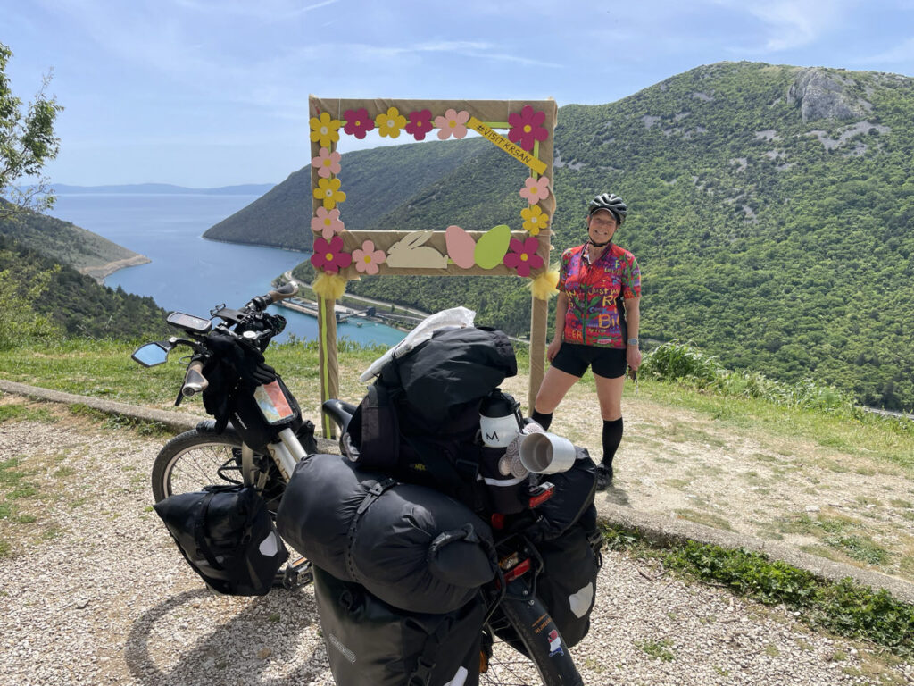 Op de fiets naar Griekenland!Op 8 november 2024 presenteerde Miranda Boom ons haar fantastische fietsavontuur Als je graag naar Zuid-Europa wilt reizen, maar niet…
 -
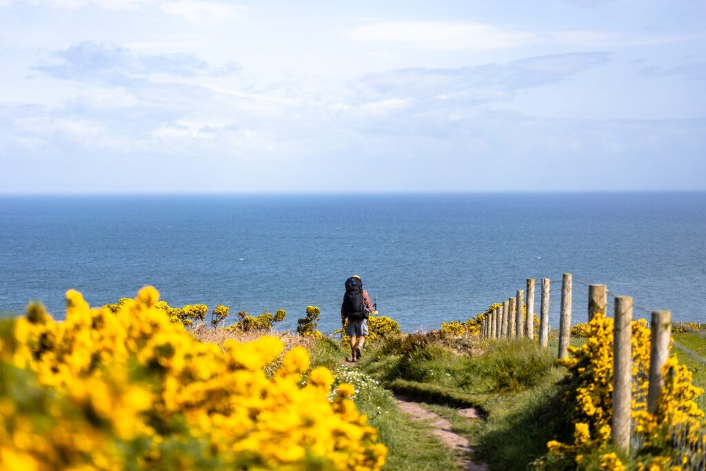 Drie mooie langeafstandswandelingen in EuropaWandelen in Europa is geweldig en extra speciaal als je er ook nog eens makkelijk kunt kamperen! Als je Europa…
 -
 Lekker lezen in de herfstVijf keer onze hoogstpersoonlijke eigen herfstboeken TOP 3's Herfst. Het rustige jaargetijde waarin je, als het weer even niet zo…
Blogs over Meerdaagse wandelroutes
-
Drie mooie langeafstandswandelingen in EuropaWandelen in Europa is geweldig en extra speciaal als je er ook nog eens makkelijk kunt kamperen! Als je Europa…
-
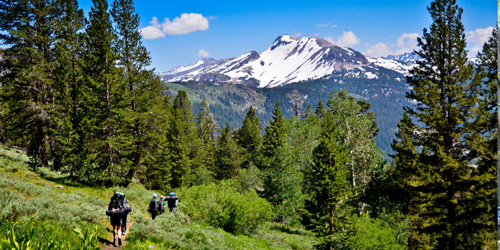 De Pacific Crest Trail , een 4600 km lange natuurodysseeVrijdag 10 mei 2024: Marlies Hallingse en Berry Trip, beiden uit Arnhem, vertellen over hun prachtige wandelavontuur, dwars door Amerika…
 -
 Stubai, het veelzijdigste bergdal van Oostenrijk?Klettersteige in Tirol Op het dorpsplein van Neustift, het toeristisch hart van het Stubaital, valt me direct het herdenkingsreliëf van…
 -
 NOORWEGEN, VAN TEEN TOT KRUINMyra de Rooy knipte haar tocht van het zuidelijkste puntje van Noorwegen, de vuurtoren van Lindesnes, naar de Noordkaap in…