Kaarten en gidsen > Wandelen > Wandeltochten > Meerdaagse wandelroutes > Europa > Britse Eilanden > Groot-Brittannië > Engeland > Noordoost-Engeland > St Oswald's Way | wandelkaart 1:40.000
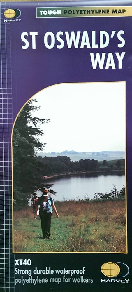
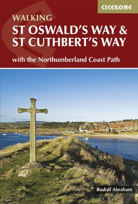
St Oswald's Way | wandelkaart 1:40.000
scheur- en watervaste wandelkaart
€25,95
niet direct leverbaar
mail ons voor de levertermijn
- Zeer ruim assortiment
- Verzending 1-2 werkdagen
- Niet tevreden, geld terug
- Ruilen binnen 14 dagen
Titelinformatie
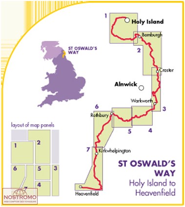
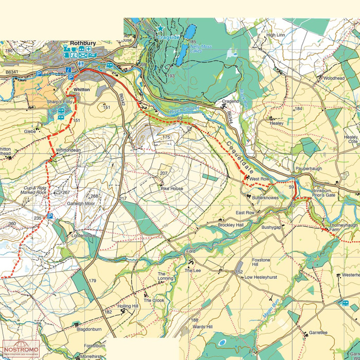
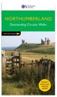
Gedetailleerde kaart met de wandelroute(s). Symbolen geven de campings, B&B's, hotels, e.d. aan. In plastic hoes. | From Holy Island to Heavenfield, the 97 mile St Oswald's Way links some of the places associated with St Oswald who was the King of Northumbria in the early 7th century. The route runs through the Northumbria National Park following the stunning Northumberland Coast before heading inland across beautiful countryside to Heavenfield. It links with St Cuthbert's Way in the north and Hadrian's Wall Path in the south. Along the way you will encounter rolling farmland, villages, vast sandy beaches and fascinating history.
Titelspecificaties
| Regio | Noordoost-Engeland |
|---|---|
| Uitgavedatum | 2013 |
| Uitgever | |
| ISBN | 9781851375233 |
| Gebied | Holy Island to Heavenfield 97 miles (Northumbria) |
| Categorie | Meerdaagse wandelroutes, Wandelkaarten |

