 Wandelkaart
Geen producten gevonden die aan je zoekcriteria voldoen.
Blogs over Wandelkaarten
-
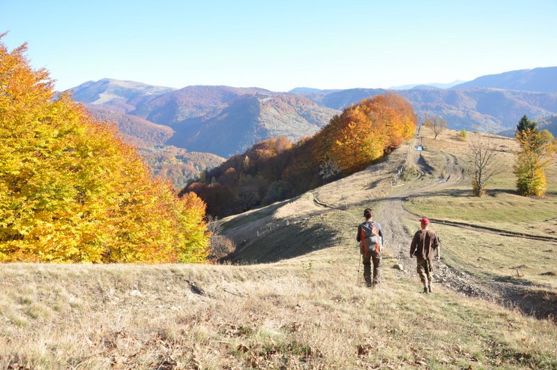
 Stubai, het veelzijdigste bergdal van Oostenrijk?Klettersteige in Tirol Op het dorpsplein van Neustift, het toeristisch hart van het Stubaital, valt me direct het herdenkingsreliëf van…
 -
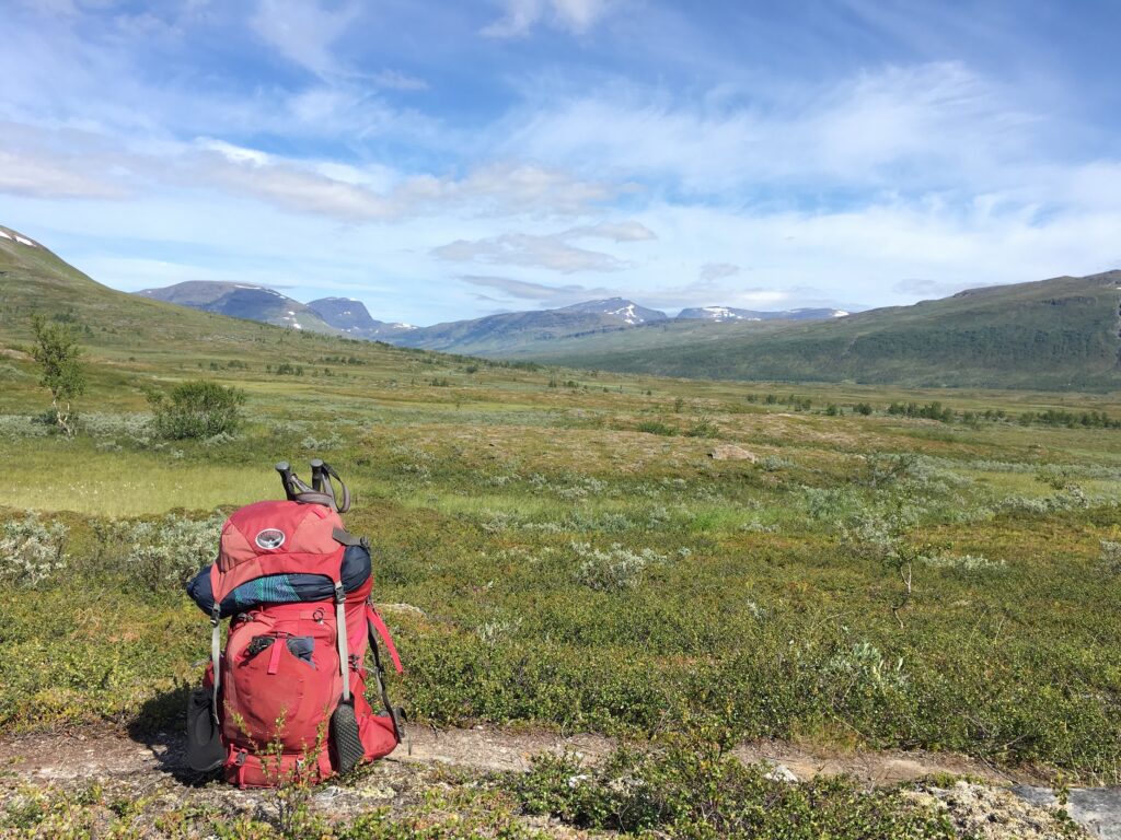 NOORWEGEN, VAN TEEN TOT KRUINMyra de Rooy knipte haar tocht van het zuidelijkste puntje van Noorwegen, de vuurtoren van Lindesnes, naar de Noordkaap in…
 -
 Op reis door Oekraïne - ooit kan het weer!De onontdekte parel van Europa Monument in openluchtmuseum Kolachava: verbeelding van de impact die arbeidsmigratie op miljoenen levens heeft; een…
 -
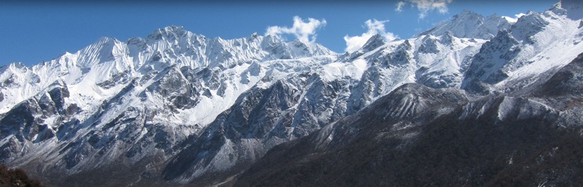 Een trekking door de HimalayaEen reis naar Nepal levert onvergetelijke ervaringen op. Niet alleen de spectaculaire bergen of spannende bergpassen. Ook het bezoek aan…