Kaarten en gidsen > Wandelen > Wandelkaarten > Afrika > Noord-Afrika en Sahel > Marokko > Toubkal | scheur- en watervaste kaart 1:50 000
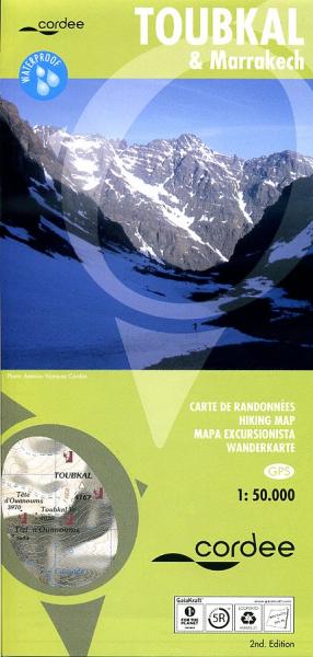
Toubkal | scheur- en watervaste kaart 1:50 000
met aan de andere kant een gedetailleerde stadsplattegrond van Marrakech
€19,95
direct leverbaar!
- Zeer ruim assortiment
- Verzending 1-2 werkdagen
- Niet tevreden, geld terug
- Ruilen binnen 14 dagen
Titelinformatie
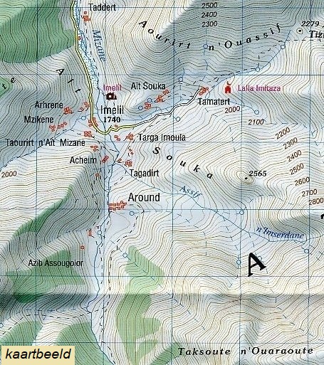
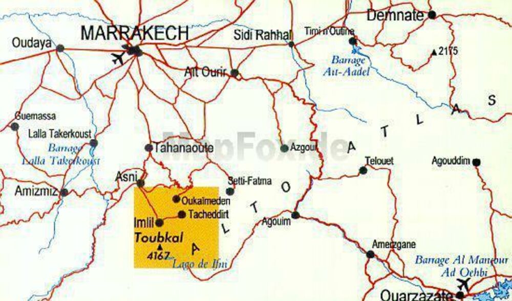
A detailed, accurate and up-to-date trekking map of Jebel Toubkal in the High Atlas mountains of Morocco, the highest peak in North Africa and popular trekking destination. A street plan of Marrakech is on the reverse. 1:50,000 topographic map detail includes contours at 20m intervals, hill-shading, woodland and scrub areas, springs, creeks, rivers and dry riverbeds. Road detail includes tracks and footpaths, and funicular railways and ski-lifts are also indicated. Isolated buildings are marked and symbols show ski-stations, refuges and religious buildings. A 1km UTM grid is drawn over the map and margin ticks are at 1’ intervals.On the reverse is a clear plan of Marrakech at approximately 1:8,700.
Titelspecificaties
| Regio | Marokko |
|---|---|
| Uitgever | |
| ISBN | 9781904207474 |
| Gebied | Hoge Atlas |
| Categorie | Stadsplattegronden, Wandelkaarten |

