Kaarten en gidsen > Wandelen > Wandelkaarten > Europa > Britse Eilanden > Groot-Brittannië > Engeland > Noordoost-Engeland > EXP-024 The Peak District - White Peak OL24 | wandelkaart 1:25.000
EXP-024 The Peak District - White Peak OL24 | wandelkaart 1:25.000
Outdoor Leisure Map 24 | part of High Peak Trail & Tissington Trail
€19,95
direct leverbaar!
- Zeer ruim assortiment
- Verzending 1-2 werkdagen
- Niet tevreden, geld terug
- Ruilen binnen 14 dagen
Titelinformatie
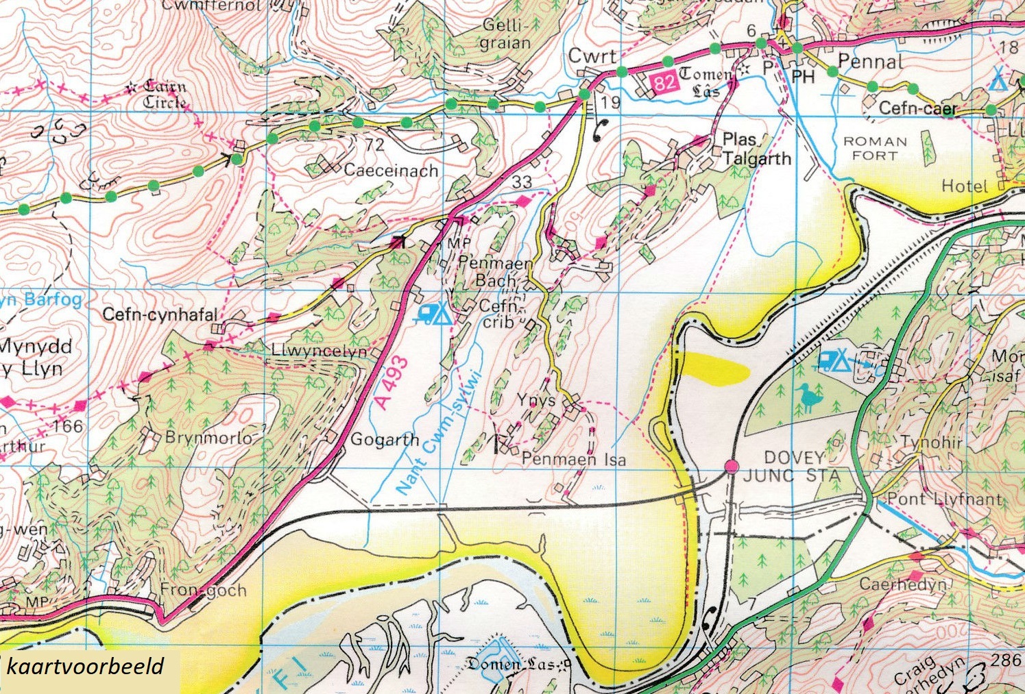
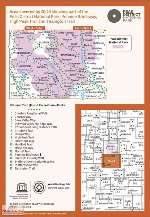
Deel uit een serie zeer gedetailleerde topografische kaarten (1:25.000), perfect om mee te wandelen. Veel details (ook campings en bezienswaardigheden zoals kastelen, landgoederen e.d.) en wandelroutes. | Map sheet number OL 24 in the OS Explorer series covers the Peak District area surrounding Buxton, Bakewell, Matlock and Dove Dale and is the perfect map to use when exploring the White Peak area. The scenery is a treat for outdoors enthusiasts who will be able to see the outcrops of light coloured limestone that give the area its name.Includes mobile downloadWith this map you will receive a code for use on your iOS or Android smartphone or tablet.
Titelspecificaties
| Regio | Noordoost-Engeland |
|---|---|
| Uitgavedatum | 2020 |
| Uitgever | |
| Serie | |
| ISBN | 9780319263846 |
| Gebied | Buxton, Bakewell, Matlock, Dove Dale |
| Categorie | Wandelkaarten |


