Kaarten en gidsen > Kaarten & plattegronden > Landkaarten en wegenkaarten > Europa > Zuid-Europa / Middellandse Zee > Griekenland > Noord-Griekenland > TM-1.1 Thracië wegenkaart / overzichtskaart 1:200.000 *
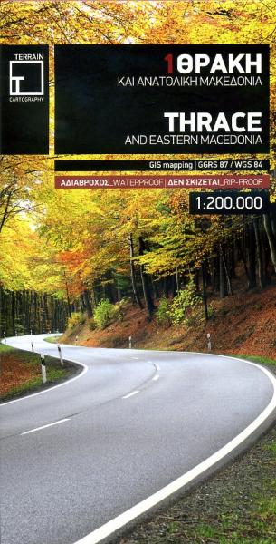
TM-1.1 Thracië wegenkaart / overzichtskaart 1:200.000 *
€8,90
direct leverbaar!
- Zeer ruim assortiment
- Verzending 1-2 werkdagen
- Niet tevreden, geld terug
- Ruilen binnen 14 dagen
Titelinformatie
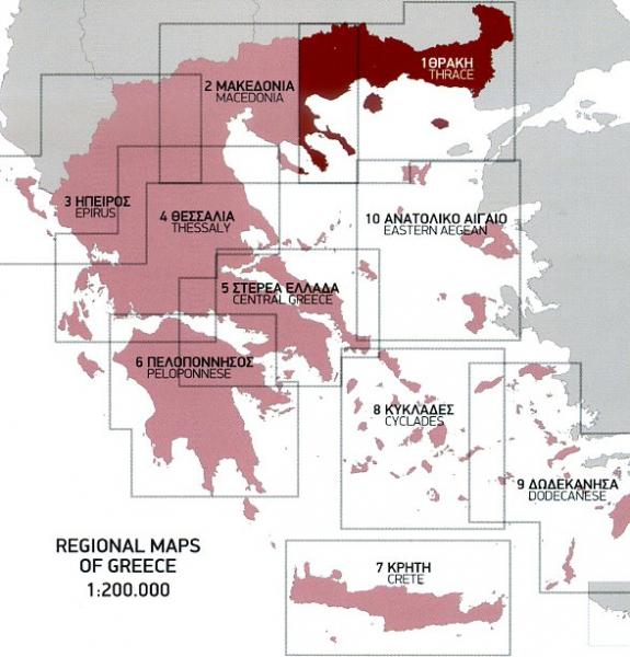
Thrace and Eastern Macedonia at 1:200,000 in a series of regional road maps of Greece from Terrain Editions, printed on light, waterproof and tear-resistant synthetic paper. The map is double-sided, with a small overlap between the sides, and included the islands of Thasos and Samothrace (Samothraki) as well as part of the Khalkidhiki Peninsula with Mt Athos and Sithonia. Topography is shown by relief shading with light altitude colouring and plenty of names of mountain ranges. All place names are in both Greek and Latin alphabets. Presentation of the road network differentiates between smooth and rough dirt roads, and shows driving distances on many local roads plus locations of petrol stations. Scenic routes are highlighted. Railway lines and ferry routes are included. A range of symbols indicate various places of interest including campsites and mountain refuges, archaeological sites, churches and monasteries, skiing areas, etc. The map has a 10km UTM grid.
Titelspecificaties
| Regio | Noord-Griekenland |
|---|---|
| Uitgavedatum | 2013 |
| Uitgever | |
| Serie | |
| ISBN | 9789609456265 |
| Categorie | Landkaarten en wegenkaarten |

