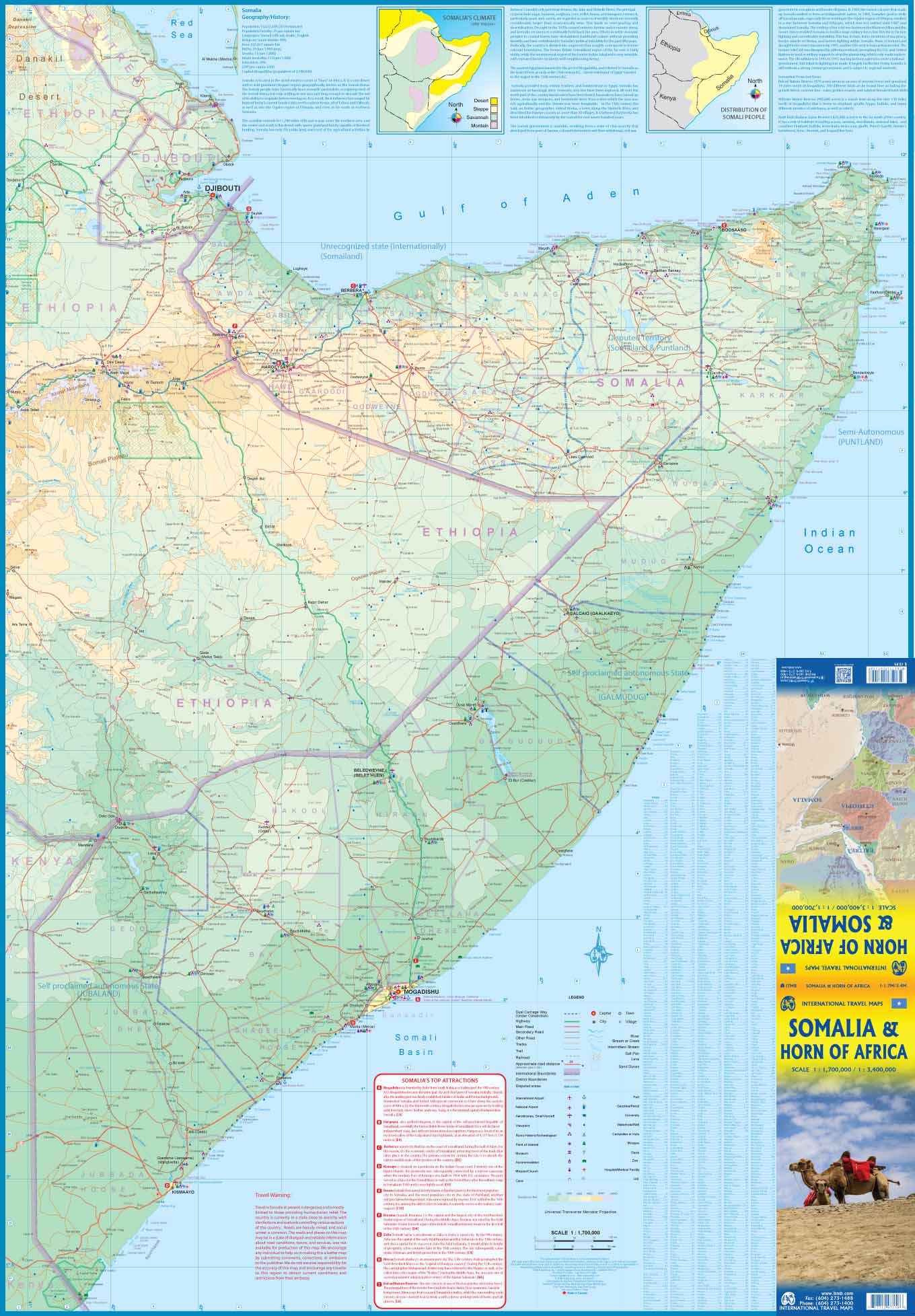
ITM Somalia | landkaart, autokaart 1:1.700.000
€13,95
direct leverbaar!
- Zeer ruim assortiment
- Verzending 1-2 werkdagen
- Niet tevreden, geld terug
- Ruilen binnen 14 dagen
Titelinformatie
Fraaie, relatief gedetailleerde overzichtskaart van Somalië, schaal 1:1.700.000. Tweezijdig bedrukt,op de achterkant staat een overzichtskaart van de gehele regio, inclusief Ethiopië, schaal 1:3.400.000.
Somalia is one of the more interesting off-the-beaten-path countries; a failed state in any sense of the term, it is a jumble of semi-autonomous portions that roughly align with former colonial boundaries. There is, for example Somaliland, which corresponds reasonably closely to the former British Protectorate, and is fairly sensibly governed. Then there is Puntland, governing, more or less, the ?point? of the Horn of Africa. Further down the coast is the self-proclaimed autonomous state calling itself Galmudug. The area around Mogadishu prefers to call itself Somalia, but controls only a portion of the overall country area. Then there is Jubaland, on the Kenyan border, aligned very closely to the former Italian colony boundaries of the same name. Truly, an amazing juxtaposition of countries within countries! The reverse side of the sheet presents a very interesting regional perspective of the area between the northern border of Ethiopia, a small portion of Sudan and a reasonable portion of South Sudan, all of Uganda, most of Kenya, all of Djibouti, and a fair portion of Eritrea, as well as the former Aden portion of war-torn Yemen. The strategic island of Socotra is in the upper right corner. This is a fascinating regional map, never before published, of an extremely significant part of the world.
Titelspecificaties
| Regio | Ethiopië, Somalië, Eritrea |
|---|---|
| Uitgavedatum | Januari 2020 |
| Uitgever | |
| ISBN | 9781771297158 |
| Categorie | Landkaarten en wegenkaarten |

