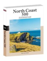
Cycling the North Coast 500 | fietsgids
€23,50
direct leverbaar!
- Zeer ruim assortiment
- Verzending 1-2 werkdagen
- Niet tevreden, geld terug
- Ruilen binnen 14 dagen
Titelinformatie
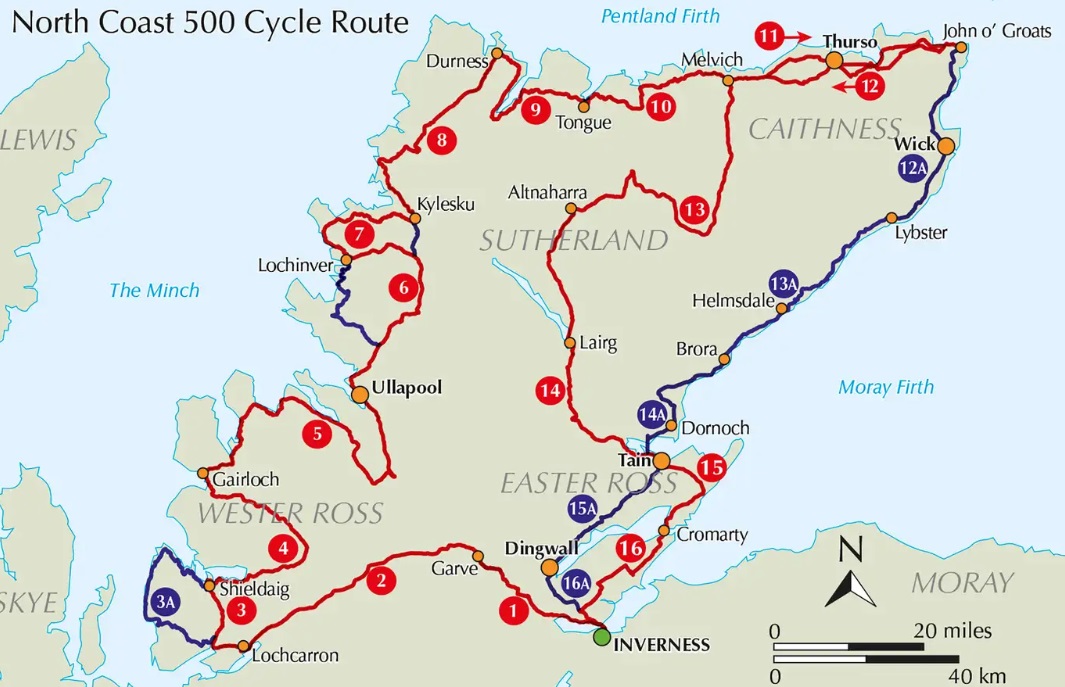
Guidebook to cycling the 528 mile NC500 circular cycle route around northern Scotland, starting and finishing in Inverness. Although the scenery is wild, the going is almost entirely on asphalt roads, many of which are quiet with little traffic and can comfortably be cycled within a fortnight.
Seasons
Best cycled between May and September
Centres
A circular ride starting and ending in the highland capital Inverness. Small towns are passed at Ullapool, Thurso and Tain
Difficulty
A challenging cycle route due to frequent undulations, with ascent totalling nearly 8000m. Climbs vary from steady climbs over low mountain passes to short steep hills. The road surface is asphalt throughout, presenting no problem. Suitable for all types of bike with a wide range of gears and appropriate tyres. Lights and high-vis jackets essential due to the possibility of misty conditions on narrow roads.
Must See
The beautiful and varied landscapes of the far north of Scotland. Major mountains are passed at Torridon, An Teallach and in Assynt. The route reaches both Durness and John o' Groats, near to the northwestern and northeastern extremities of Scotland.
Een gids voor de NC500-fietsroute van 850 km door het noorden van Schotland. Deze rondrit begint en eindigt in Inverness en gaat door Wester Ross, Sutherland, Caithness, Easter Ross en de Black Isle en is geschikt voor alle soorten fietsen en fietsers met een goede conditie. De NC500 kan in 2 weken gefietst worden.
- De tocht bestaat uit 16 etappes van 24 tot 89 km.
- Er worden alternatieve routes gegeven om de steile beklimming van Bealach na Bà of het golvende schiereiland Assynt te vermijden.
- De drukke A9 oostkustweg wordt vermeden, maar wordt beschreven als alternatieve route
- Route loopt langs Ullapool, Thurso en Tain
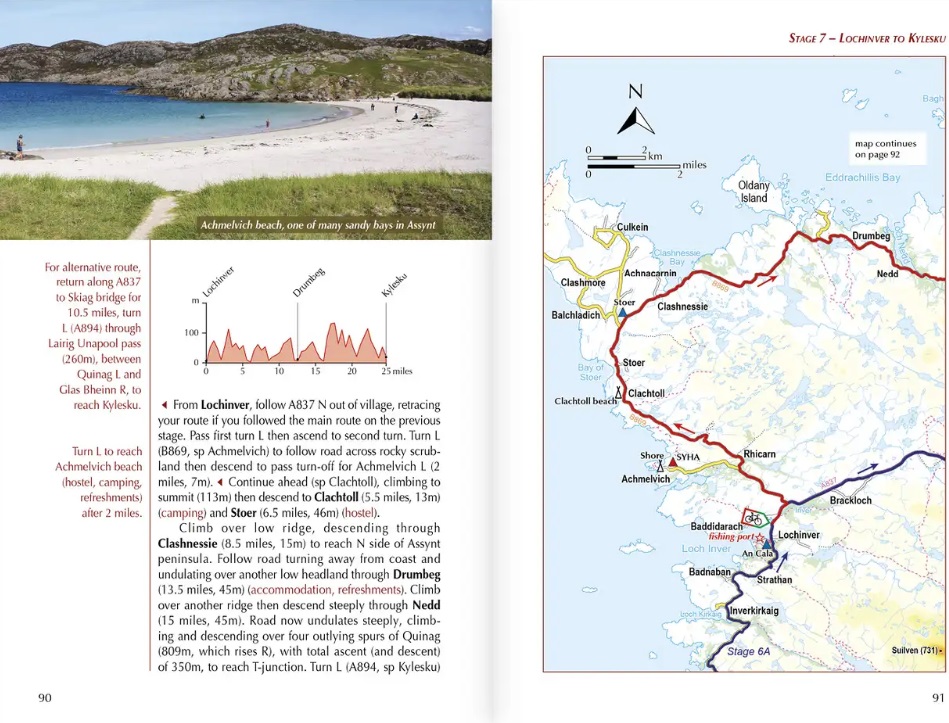
- 1:150.000 kaarten en profielen zijn inbegrepen voor elke route
- GPX-bestanden beschikbaar om te downloaden
- Gedetailleerde informatie over accommodatie, versnaperingen en faciliteiten langs de route
Titelspecificaties
| Regio | de Schotse Hooglanden (ten noorden van Glasgow / Edinburgh) |
|---|---|
| Uitgavedatum | 2024 |
| Uitgever | |
| ISBN | 9781786312198 |
| Categorie | Fietsgidsen, Meerdaagse fietsvakanties |


