Kaarten en gidsen > Kaarten & plattegronden > Wegenatlassen > Azië > Zuid-Azië > ITM Indian Subcontinent - wegenatlas *
ITM Indian Subcontinent - wegenatlas *

€12,50
direct leverbaar!
- Zeer ruim assortiment
- Verzending 1-2 werkdagen
- Niet tevreden, geld terug
- Ruilen binnen 14 dagen
Titelspecificaties
2014 | International Travel Maps
| 9781553415251
Extra titelinformatie
Relatief gedetailleerde wegenatlas. | This is our biggest atlas ever, with 152 pages of maps and 51 pages of place names indexing. The Indian Sub-Continent consists of Pakistan, India, Nepal, Bhutan, Bangladesh, Sri Lanka and Kashmir. Each country (Kashmir being considered shared) is presented as an entity, so Pakistan occupies 30 pages at 1:1,200,000 scale, and Nepal occupies 32 pages at 1:530,000 scale. In short, each country is shown in detail, but at scales appropriate for each country. The amount of detail on each page is impressive; equal to buying six maps at $12.95 each.
Andere producten uit dezelfde regio


Van dezelfde regio verkrijgbaar
-
 The 100 Best Birdwatching Sites in IndiaIndia heeft een grote diversiteit aan vogels, met meer dan 1300 soorten, waarvan er 75 endemisch zijdirect leverbaar!€27,95 > alles van Azië
 -
 ITM New Delhi 1:30.000 / Noord-India 1:1.900.000Deelkaart van India en een uitgebreide stadsplattegrond van New delhi op de achterkant. Scheur- en wdirect leverbaar!€13,95 > alles van Azië
 -
 India keuken van 10001 smakenHet kookboek “India, land van 1001 smaken” is een weerspiegeling van alle smaken en geuren die dniet direct leverbaar€14,95 > alles van Azië
 -
 Garden Flowers of India | a naturalist's guideDeze fotografische identificatiegids voor de 280 inheemse en geïntroduceerde tuinbloemensoorten diedirect leverbaar!€16,95 > alles van Azië
 -
 Chamberlain s Guide Birds of Indian Ocean Isl.This comprehensive guide covers the 359 species of bird encountered in a region that embraces Madagadirect leverbaar!€24,95 > alles van Afrika
 -
 ANWB reisgids Ontdek Sri LankaGoede Nederlandstalige gids over Sri Lanka. De reisgids neemt toeristen mee langs kerken, afgelegenniet direct leverbaar€21,95 > alles van Azië
 -
ITM Indian Subcontinent - wegenatlas *Relatief gedetailleerde wegenatlas. | This is our biggest atlas ever, with 152 pages of maps and 51direct leverbaar!€12,50 > alles van Azië
-
 India: A History in ObjectsAn authoritative visual history of one of the world's oldest and most vibrant cultures, drawing on Sdirect leverbaar!€45,00 > alles van Azië
 -
 Paleis op wielen | Nelleke NoordervlietNelleke Noordervliet reist in Paleis op wielen, een nieuw boek in de reeks Spoorslag, met de trein ddirect leverbaar!€12,95 > alles van Azië
 -
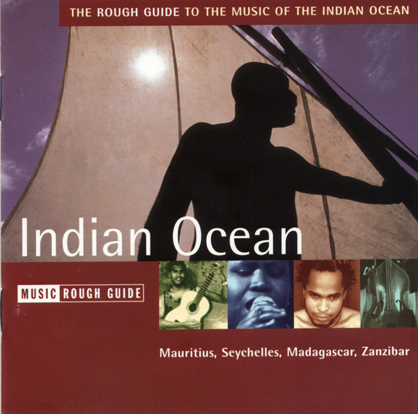 Indian Ocean MusicIf you want to explore the music of another country you need a guide... Like the useful Rough Guidedirect leverbaar!€14,95 > alles van Afrika
 -
 Delhi Top 10 guideHome to lively markets and mouthwatering food from all over the country, Delhi, India's buzzing capidirect leverbaar!€12,90 > alles van Azië
 -
 India | the Passenger***SHORTLISTED FOR THE EDWARD STANFORD TRAVEL WRITING AWARD (2022), ILLUSTRATED TRAVEL BOOK OF THE Yniet direct leverbaar€27,95 > alles van Azië