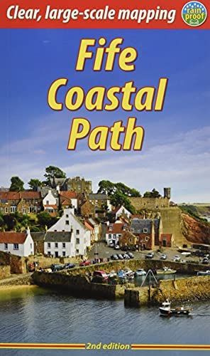
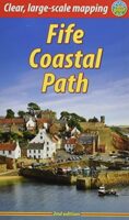
Fife Coastal Path | wandelgids
€23,95
direct leverbaar!
- Zeer ruim assortiment
- Verzending 1-2 werkdagen
- Niet tevreden, geld terug
- Ruilen binnen 14 dagen
Deze gids, gedrukt op waterbestendig materiaal, bevat in principe alles wat je nodig hebt om de route te kunnen lopen: informatie en (tamelijk grofmazige) kaarten m.b.t. afstanden, routeplanning, terreingesteldheid, horeca, waar je boodschappen kunt doen, en tenslotte enige achtergrondinfo over de prehistorie en natuur. Geïllustreerd met vele kleurenfoto’s. Engelstalig.
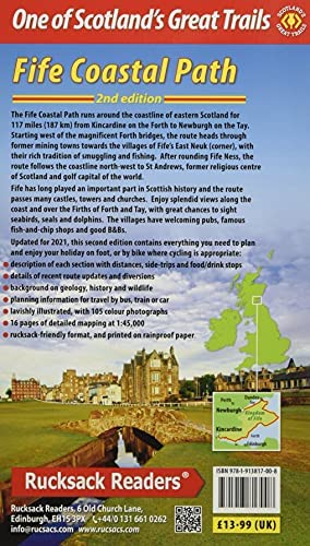
The Fife Coastal Path runs around the coastline of eastern Scotland for 117 miles (188 km) from Kincardine on the Forth to Newburgh on the Tay. Starting west of the magnificent Forth bridges, the route heads through former mining towns towards the villages of Fife's East Neuk (corner), with their rich tradition of smuggling and fishing. After rounding Fife Ness, the route follows the coastline north-east through St Andrews, golf capital of the world and former religious centre of Scotland. Fife has long played an important part in Scottish history and the route passes many castles, towers and churches. There are splendid views along the coast and over the Firths of Forth and Tay, with great chances to sight seabirds, seals and dolphins. The villages have welcoming pubs, famous fish-and-chip shops and good B&Bs. Transport by train and bus makes for easy access throughout. The guidebook contains everything you need to plan and enjoy your holiday on foot, or bike where cycling is appropriate: details of each section showing distance, side-trips and food/drink stops background on history, landscapes and wildlife planning information for travel by bus, train, car and plane lavishly illustrated, with 80 colour photographs map of the entire route rucksack-friendly format, and printed on rainproof paper.

