Kaarten en gidsen > Wandelen > Wandeltochten > Meerdaagse wandelroutes > Europa > Britse Eilanden > Groot-Brittannië > Engeland > Noordoost-Engeland > Pennine Way, the | wandelgids
Pennine Way, the | wandelgids
138 maps and guides to 57 towns and villages with large-scale walking maps


€22,95
direct leverbaar!
- Zeer ruim assortiment
- Verzending 1-2 werkdagen
- Niet tevreden, geld terug
- Ruilen binnen 14 dagen
Titelspecificaties
2023 | Trailblazer
| Walking Guides
| 9781912716333
| Edale – Kirk Yetholm
| 315
| Stuart Greig & Bradley Mayhew
| 12 x 18 x 1,5 cm
Extra titelinformatie
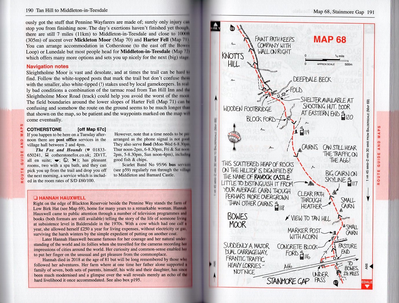
Practical guide with 138 large scale maps (1:20,000). Includes accommodation guide, pubs and restaurants and public transport information. Britain's best-known National Trail winds for 253 miles through three National Parks - the Peak District, Yorkshire Dales and Northumberland. This superb footpath showcases Britain's finest upland scenery, while touching the literary landscape of the Bronte family and Roman history along Hadrian's Wall. The guide includes: 138 large-scale walking maps; itineraries for all walkers; practical information for all budgets - guides to 57 towns and villages showing where to stay, where to eat, what to see, plus detailed street plans; comprehensive public transport information; flora and fauna; four page full colour flower guide, plus an illustrated section on local wildlife; green hiking; and GPS waypoints.

Van dezelfde regio verkrijgbaar
-

 PG 63 Peak District | wandelgidsFraaie, goed verzorgde wandelgidsjes met ca. 28 wandelingen van max. een dag, (beginnend bij korte,direct leverbaar!€18,90 > alles van Europa
 -

 St Oswald's Way and St Cuthbert's Way | wandelgids *In easy stages, this guidebook describes three diverse long-distance trails leading through Northumbniet direct leverbaar€12,90 > alles van Europa
 -

 EXP-042 Kielder Water OL42 | wandelkaart 1:25.000Deel uit een serie zeer gedetailleerde topografische kaarten (1:25.000), perfect om mee te wandelen.direct leverbaar!€15,95 > alles van Europa
 -

 EXP-001 The Peak District - Dark Peak Area | wandelkaart 1:25.000Deel uit een serie zeer gedetailleerde topografische kaarten (1:25.000), perfect om mee te wandelen.direct leverbaar!€19,95 > alles van Europa
 -

 Peak District - short walks20 short walks from 1 1/2 miles to 6 miles around the Peak District. Clear 1:25, 000 OS maps. Extradirect leverbaar!€11,95 > alles van Europa
 -

 York pop out map | stadsplattegrondje in zakformaatDeze innovatieve kaarten hebben een opvallend en ingenieus ontwerp: met één handomdraai vouw je zedirect leverbaar!€4,95 > alles van Europa
 -

 Walking the Literary Landscape *Literature and a love of the English countryside are natural companions.Walking the Literary Landscadirect leverbaar!€9,90 > alles van Europa
 -

 Ribble Way, walking the | wandelgidsThis is a new, full colour guide to this delightful long distance trail. The River Ribble springs frdirect leverbaar!€22,90 > alles van Europa
 -
 St Oswald's Way and Northumberland coast path| wandelgidsGuide to St Oswald's Way, stretching 97 miles (156km) through Northumberland from Heavenfield near Hdirect leverbaar!€22,50 > alles van Europa
 -

 fietskaart North York Moors 1:126.000Explore the North York Moors by bike with this laminated, waterproof map. With 16 circular, clearly-direct leverbaar!€14,90 > alles van Europa
 -

 LR-081 Alnwick, Morpeth | topografische wandelkaartDeel uit de serie topografische kaarten van Groot Brittannie met de schaal 1:50.000. Grote kaarten,direct leverbaar!€8,00 > alles van Europa
 -

 wandelgids Durham County, Walking inEngelstalige gids in handig vestzakformaat. Bevat gedetailleerde routebeschrijvingen, veel praktischdirect leverbaar!€19,50 > alles van Europa