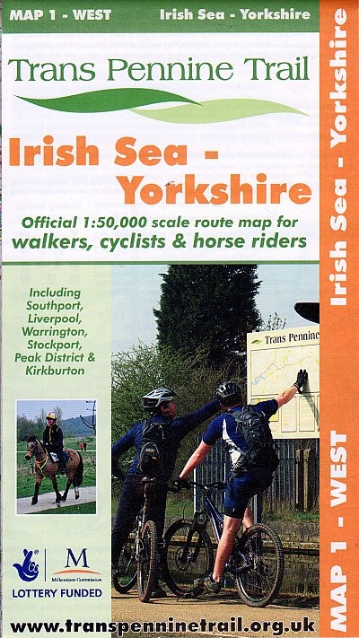
Kaarten en gidsen > Wandelen > Wandelkaarten > Europa > Britse Eilanden > Groot-Brittannië > Engeland > Noordwest-Engeland > Map 1: West Irish Sea - Yorkshire
€8,95
direct leverbaar!
- Zeer ruim assortiment
- Verzending 1-2 werkdagen
- Niet tevreden, geld terug
- Ruilen binnen 14 dagen
Titelspecificaties
2015 | Trans Pennine Trail Project
| 9780953227778
Extra titelinformatie
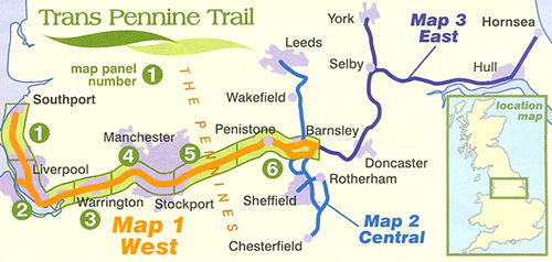
This map covers the Western Section of the Trans Pennine Trail, from the Victorian seaside town of Southport on the Irish Sea and the City of Liverpool, to the mid point of the Trail at Old Moor Wetland Centre, near Barnsley. The Western section includes the Liverpool Loop line and the Cheshire Lines path, the Mersey Valley and passes through the Peak District National Park, and the market town of Penistone at the eastern foot of the Pennines. The map shows clearly the walking, cycling and where available the horse riding route of the Trail. Route: Southport to RSPB Old Moor, Barnsley (via Liverpool, Stockport and Penistone).Distance: 108 miles, mostly traffic-free.Scale: :50,000.
Andere producten uit dezelfde regio

